
Mapping Tomorrow - The Power of Geographic Information Systems (GIS)
Introduction
If you work with maps and assess information such as topography, geographical location, and infrastructures like drainage or transport systems, Geographic Information Systems (GIS) are a familiar tool in your profession. GIS, a multifaceted and intricate field, provides a robust platform for analyzing spatial data to derive valuable insights and make informed decisions.[1]
From urban planning to disaster management, GIS finds applications across various industries, offering insights that drive efficiency, sustainability, and informed decision-making.
In this blog, we aim to provide you with a general understanding of GIS, exploring its functionalities and practical applications to equip you with an overview of this intricate yet indispensable technology.
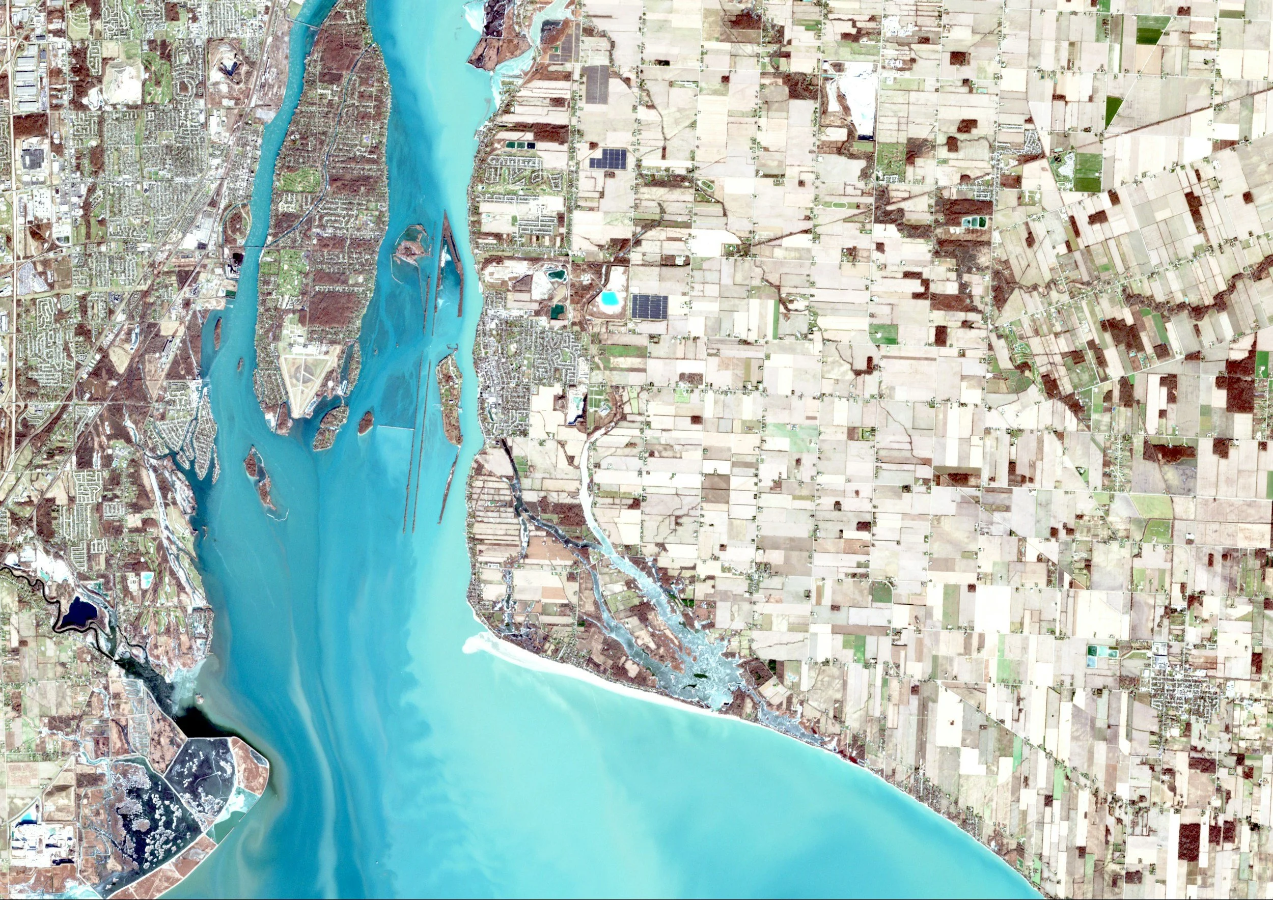
Data creation and management with GIS
GIS is a powerful tool for data creation and management, providing a seamless connection between data and maps while integrating location information with various descriptive data sets. Its robust capabilities serve as a cornerstone for mapping and analysis across scientific fields and industries, allowing users to delve into patterns, relationships, and the geographic context of data.[2]
Let’s go a little deeper.
Data management
In the realm of data creation and management, GIS stands as a critical system of record. Its significance lies in the ability to store and integrate data from various systems and sources. This integration process empowers organizations by enhancing the utility of their data, allowing for a comprehensive and cohesive overview of information.
Web mapping and visualization
GIS plays a pivotal role in transforming raw data into meaningful insights. From digital maps and interactive dashboards to integrating satellite imagery, 3D terrain modeling, and real-time data feeds, GIS empowers professionals to visually represent complex information accurately and efficiently. Through the power of visualization, GIS brings data to life, shedding light on complex patterns and relationships that might otherwise go unnoticed.
Spatial analysis
When leveraging GIS technology, businesses can harness the power of spatial analysis – the process of studying entities by examining, assessing, evaluating, and modeling data features such as locations, attributes, and their relationships that reveal the geometric or geographic properties of data.[3] By doing so, organizations across various sectors can streamline decision-making processes, tackle challenges proactively, and create innovative solutions that address real-world problems effectively.
The integration of GIS not only enhances data/spatial analysis capabilities but also offers a holistic understanding of spatial relationships, paving the way for informed decision-making and sustainable solutions.
Who relies on GIS and how does it shape our reality?
Across the globe, GIS is an indispensable tool utilized by thousands of organizations across various industries. Its applications spans a wide variety of sectors including but not limited to education, construction, infrastructure, conservation, telecommunications, transportation, utilities, natural resources, and government.
Canacre and GIS
Canacre's GIS and Data Management Team is a renowned group that excels in offering an array of tailored mapping services, extensive land and environmental analyses, precise site and route selections, and identification of key features. With a reputation for efficiency, we pride ourselves on consistently producing intricate and precise GIS deliverables that significantly contribute to our clients' successful project accomplishments.

Canacre and Mapbase
At Canacre, our web-based GIS, Mapbase, serves as a comprehensive tool tailored to streamline and enhance various facets of project management. Through Mapbase, project data is centralized, consultation feedback is efficiently collected, permits and land status are readily reviewed, construction progress is meticulously tracked, and informed decisions are made promptly.
The platform instills a sense of confidence in the right of way process by offering a seamless interface to navigate through complex permit and land information, thus fostering effective collaboration with all project contributors from development stages to construction phases.

Securing tomorrow with GIS
In conclusion, GIS plays a pivotal role in numerous industries, becoming an essential tool for day-to-day operations. Its ability to provide predictive insights and support informed decision-making is invaluable, offering benefits not only to individuals but also to the environment. For instance, GIS can pinpoint areas where introducing green spaces would help mitigate extreme heat or highlight regions where anticipated population growth could facilitate business expansions.
In our next blog, we will delve deeper into the intricacies of Mapbase, unraveling how this powerful tool seamlessly merges spatial information with data to enable a comprehensive understanding of complex infrastructure projects.
Stay tuned to discover how this innovative technology streamlines project management processes and enhances accessibility to crucial information in a dynamic and user-friendly manner!
For more information on GIS and best practices, please contact a member of our team at sales@canacre.com